Furuno Time Zero Navigation Software
Price range: £380.00 through £1,330.00
Exc VAT
Timezero Navigation Software
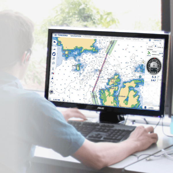
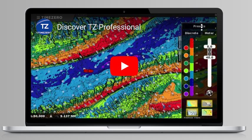
TZ Professional software has been designed to answer the navigation needs and requirements of all professional seafarers. With features that are truly cutting-edge, TIMEZERO software has two main objectives: Supreme control and performance. Discover in this section how TIMEZERO software caters to your needs no matter your activity.
Whilst the combination of safety and performance remain the keystone for every professional at sea, other requirements such as a dedicated workspace, compatibility and the processing of your instruments data and the impact of specific weather variations are vital for some and less so for others.
Product Information
- Weather: The latest version of TZ Navigator now offers forecasts from the GFS model with a resolution of 0.25°
- Ocean-O: Identify the best fishing zones thanks to worldwide Oceanographic Forecasts.
- Synchronization Cloud: Thanks to the new TZ Cloud technology, TIMEZERO safeguards your navigation data.
- Display AIS / ARPA targets
- Chart Engine: Unrivalled 2D/3D Chart Engine and Photofusion
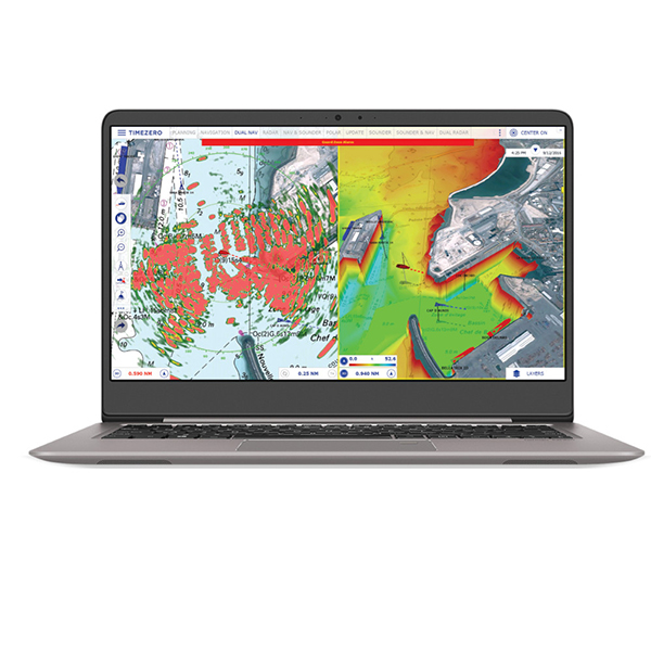
- Radar image can be overlaid directly on the chart
- Augmented Reality with Compatibility with generic fixed H264 cameras
- Addition complimentary Modules Available to expand functions.
- Up to 3 monitors can be used simultaneously working on Independent Workspaces
Tens of thousands of professional mariners around the world use TZ Professional to make their daily operations smarter and safer. Getting started is fast and easy.
What else can TZ Professional do for you?
Whilst the combination of safety and performance remain the keystone for every professional at sea, other requirements such as a dedicated workspace, compatibility and the processing of your instruments data and the impact of specific weather variations are vital for some and less so for others.
Why TZ Professional?
S-63 Charts: Keeping up to date charts is an essential element to ensure the safety of all those at sea. TZ Professional is now compatible with the official encrypted S-63 charts. S-63 charts are updated every week. These maps respect the S-52 standard developed by the International Maritime Organization (IMO). The iconography offers a simplified display in order to improve the readability of the marine charts on-screen.
Route Management: Route Planning is of the utmost importance for all professions at sea. Our new technology assures the security of a route upon creation: Through color codes (green/red) it is instantaneously possible to know if the depth is sufficient for the safe passing of your boat. An automatic route wizard will provide you with information regarding to the optimal departure and arrival time, taking into account tides and currents.
Profile: Instantaneously display a point to point depth profile window. This 2D view will allow you to identify the depth variations with unequalled precision (rocks, shipwrecks, etc.).
Fishing Workspace: A workspace exclusively dedicated for professional fishermen will allow for personalization of 2D/3D so accessing information that is most pertinent is shown first.
AIS: The configuration of AIS can sometimes prove to be complex. Our new AIS module allows for complete configuration of all information directly within TZ Professional (Status, Destination, etc.). Furthermore, it is now possible to receive and send AIS text messages from TZ Professional. This system will allow for simplified communication, free and individual with all boats which are equipped with AIS.
Security Cone: The new security cone is a feature in adherence with the official rules of the IMO. It takes into account the information of vector charts in order to detect isolated dangers and shallow areas. If an obstacle is detected inside this cone in front of the boat’s trajectory, an anti-grounding alarm will automatically be triggered.
Professional software for marine navigation | TIMEZERO (mytimezero.com)
Additional information
| Options | TZPRO – Professional software license (No Chart), TZNAV1 – Navigator wide software License, TZNAV2 – Navigator Megawide software License |
|---|
Requirements
Minimum System Requirements
- Microsoft® Windows® 8.1 or Windows® 10 (64-bit operating system)
- CPU 2 GHz Intel® Core™ i5 4th generation or equivalent
- 4GB of RAM (8GB recommended)
- Video Board:Minimum – Intel HD4400 Graphic Chipset (i5 4th generation with HD4400 or above)
- Recommended (for PBG and Multi monitor) – Dedicated Video Board with 1GB VRAM
- Screen Resolution: 1024 X 768 or higher (1280 x 800 or above highly recommended)
- Hard Disk: 40 GB of free space
- USB or Serial Port for connecting instruments via NMEA0183, Actisense USB NGT-1 for connecting instruments via NMEA2000 or 100 Base-T Network Adapter for Furuno Ethernet Sensors


Reviews
There are no reviews yet.