




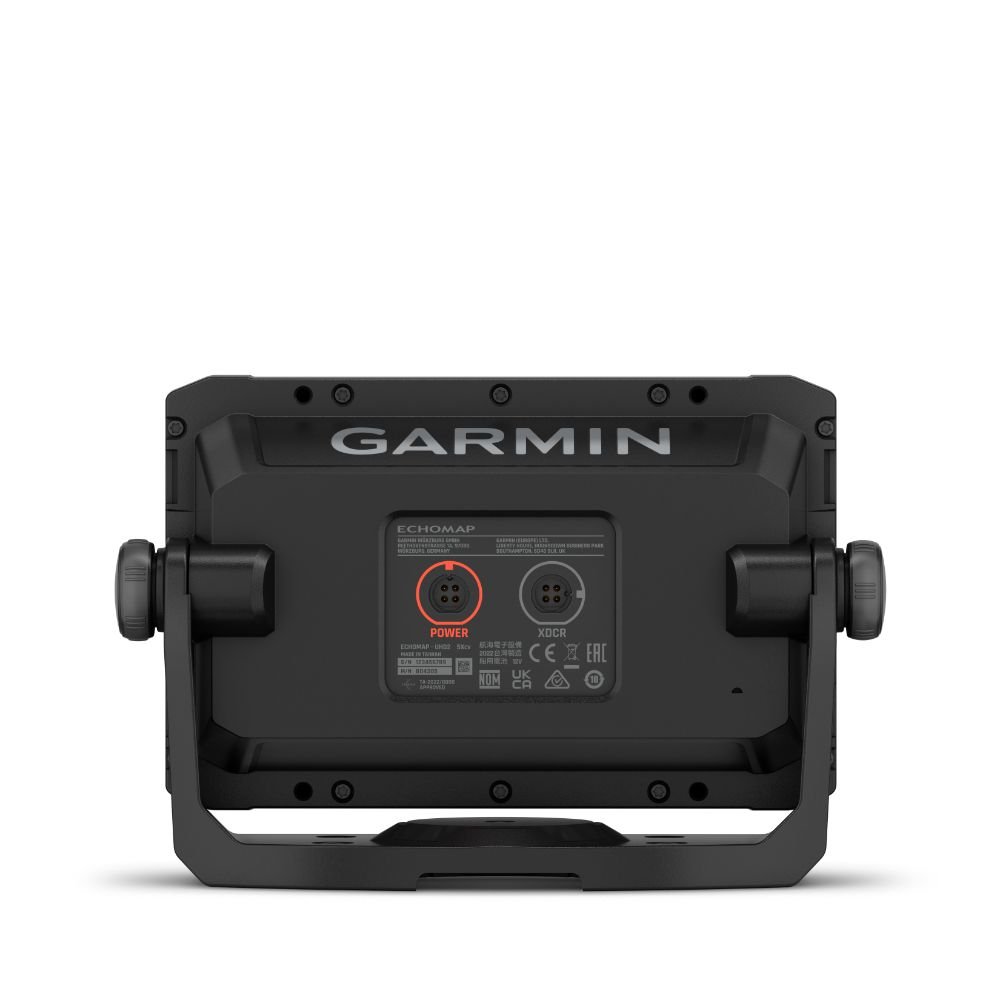
Garmin ECHOMAP UHD2 55cv Chartplotter
£395.00
Exc VAT
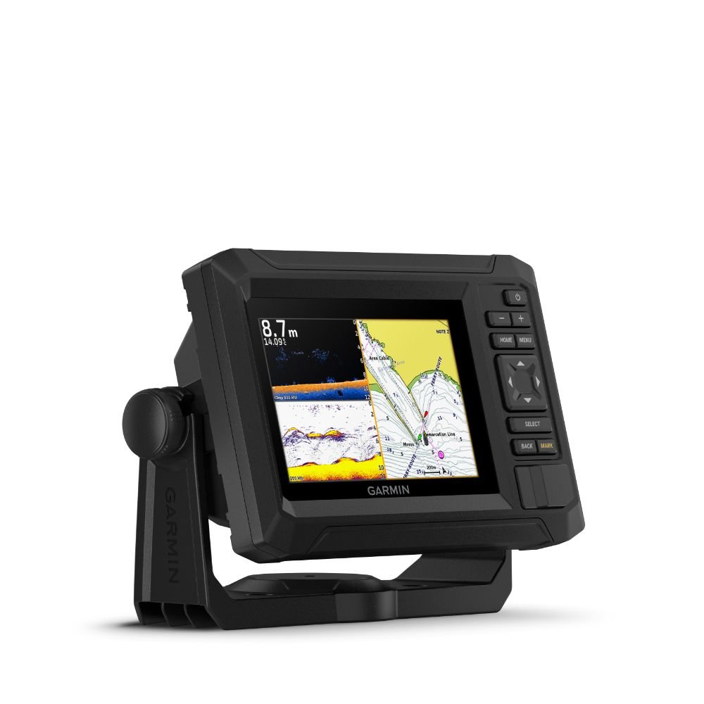
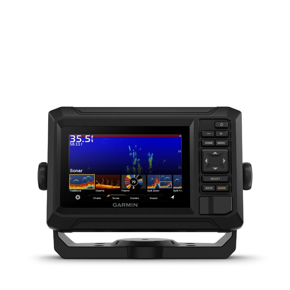
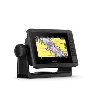
Fish like a local with the 5″ ECHOMAP UHD2 55cv chartplotter.
Get clear, high-contrast views below the boat with support for Garmin traditional and ClearVü scanning sonars (transducer sold separately). Know the waters with preloaded Garmin Navionics+ and support for Garmin Navionics Vision+.
- Enjoy the number one in mapping with Garmin Navionics+ and Garmin Navionics Vision+
- Bright 5″ keyed display is made for convenience
- Get double the views with Garmin CHIRP traditional and ClearVu scanning sonars (transducer sold separately)
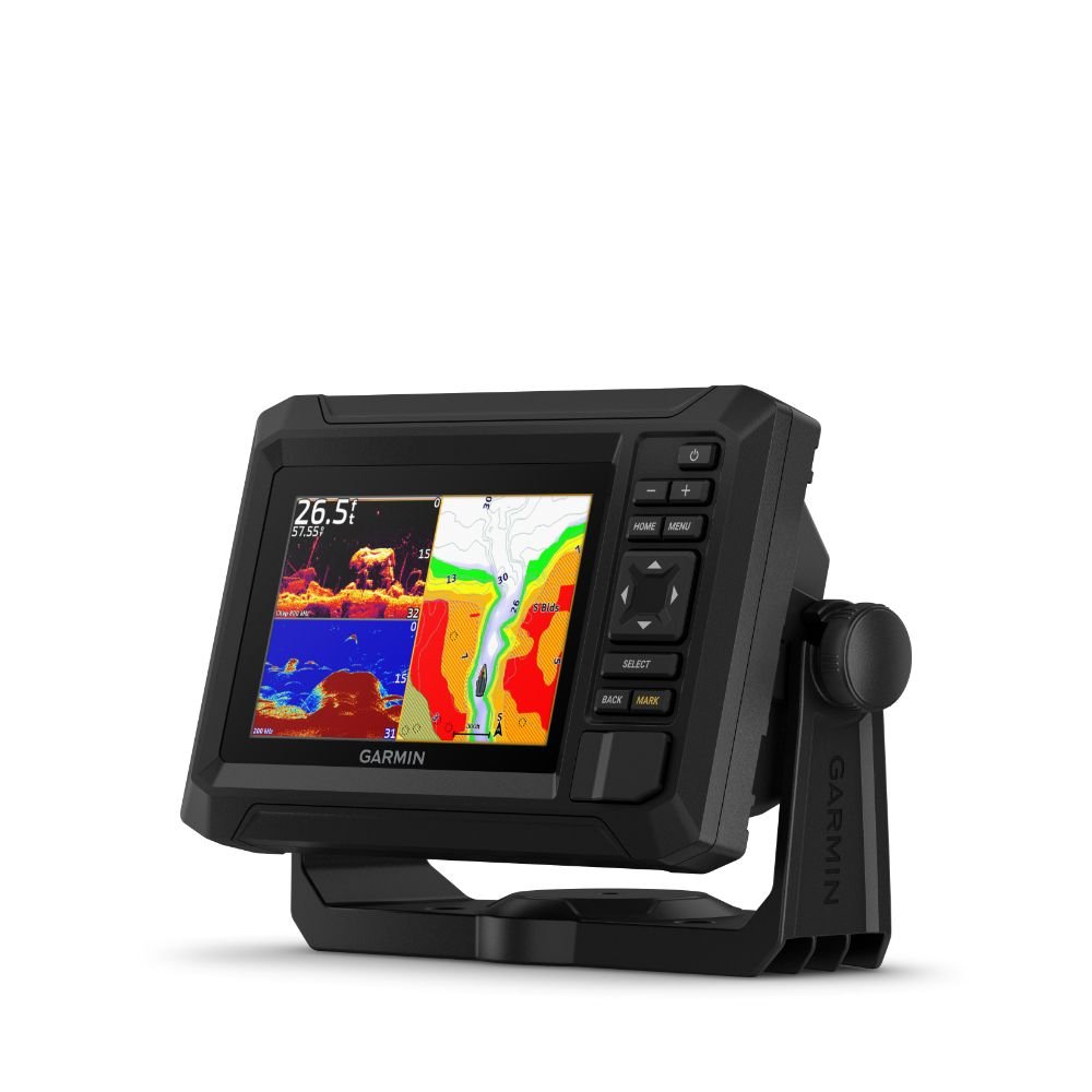
- What's under the water looks even better with high-contrast vivid colour palettes
- Wi-Fi connectivity between compatible chartplotters makes it easy to share info
Know the waters, catch more fish.
Preloaded Charts - Built-in Garmin Navionics+ charts or optional Garmin Navionics Vision+.
Sonar Support - With crisp, clear traditional sonar and brilliant ClearVü sonar, the fish will have nowhere to hide (transducer sold separately).
Vivid Colour Palettes - High-contrast vivid scanning sonar colour palettes make it easier than ever to distinguish targets and structure.
Add a Transducer - The ECHOMAP UHD2 device supports a variety of Garmin transducers for two types of sonar: Garmin traditional and ClearVü scanning sonars.
Wireless networking - Wirelessly share information such as sonar, waypoints and routes with other compatible ECHOMAP UHD2 chartplotters on the boat.
ActiveCaptain App - Built-in Wi-Fi connectivity pairs with the free all-in-one mobile app for access to the OneChart™ feature, software updates, Garmin Quickdraw™ Community data and more.
Multi-Band GPS - Get improved position accuracy, particularly in areas where signals are reflected or weak, with multi-band GPS.
Additional information
| Variation | Display Only, With Transducer |
|---|
Installation
Specifications
| General | |
|---|---|
| Dimensions | 18.8 x 12.2 x 6.2 cm (7.4″ x 4.8″ x 2.4″) |
| Input | Keyed |
| Display Size | 10.9 x 6.6 cm (4.3″ x 2.6″) |
| Display Resolution | 800 x 480 pixels |
| Display Type | WVGA, IPS |
| Weight | 0.5 kg (1.1lbs) |
| Waterproof Rating | IPX7 |
| Mounting Options | Bail or flush |
| Maps & Memory | |
|---|---|
| Accepts Data Cards | 1 MicroSD Card, 32GB Max |
| Waypoints | 5,000 |
| Track Points | 50,000 |
| Tracks | 50 Saved Tracks |
| Navigation Routes | 100 |
| Sensors | |
|---|---|
| Has Built-In Receiver | ✓ |
| Receiver | 5 Hz |
| GPS | ✓ |
| Supports WAAS | ✓ |
| Optional Map Support | |
|---|---|
| Garmin Navionics+ | ✓ |
| Garmin Navionics Vision+ | ✓ |
| Garmin Quickdraw Contours | ✓ |
| Chartplotter Features | |
|---|---|
| ActiveCaptain Mobile Planning Compatible | ✓ |
| Sonar Features & Specifications | |
|---|---|
| Displays Sonar | ✓ |
| Power Output | 500W |
| Traditional Sonar (Dual Frequency / Beam) | Built-in (Single channel CHIRP, 70/83/200 kHz, L, M, H CHIRP |
| ClearVÜ | Built-in 260/455/800 kHz |
| Connections | |
|---|---|
| 4-Pin Transducer Ports | 1 |
| Garmin Wi-Fi Network | ✓ |
| Electrical Features | |
|---|---|
| Power Input | 9 to 18 Vdc |
| Typical Current Draw at 12VDC | 1A |
| Maximum Current Draw at 12VDC | 1.5A |
| Maximum Power Usage at 10VDC | 18W |
In the box
- ECHOMAP Unit
- Power / Data cable
- 8-pin to 4-pin transducer adapter cable
- Bail mount
- Flush mount
- Hardware
- Documentation
Reviews
There are no reviews yet.