Olex LT Office version
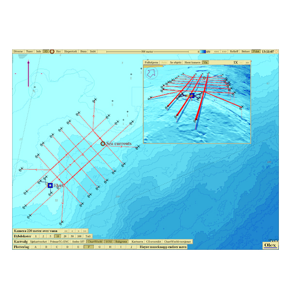
Olex LT is an office-version of Olex. It holds the same functions for presentation of sea floor data, data storage and plotting as an Olex full version, but will not listen to NMEA-sentences from GPS or echosounder. LT follows the same software updates as Olex full version and latest software-upgrade is always available free of charge from our Olex website.
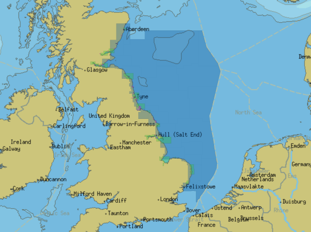
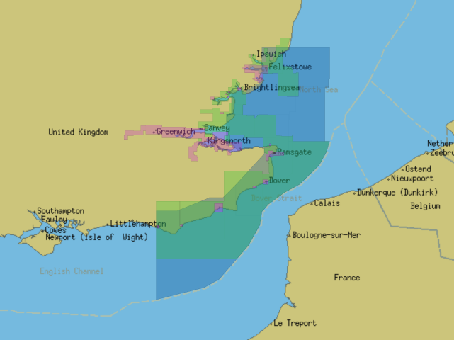
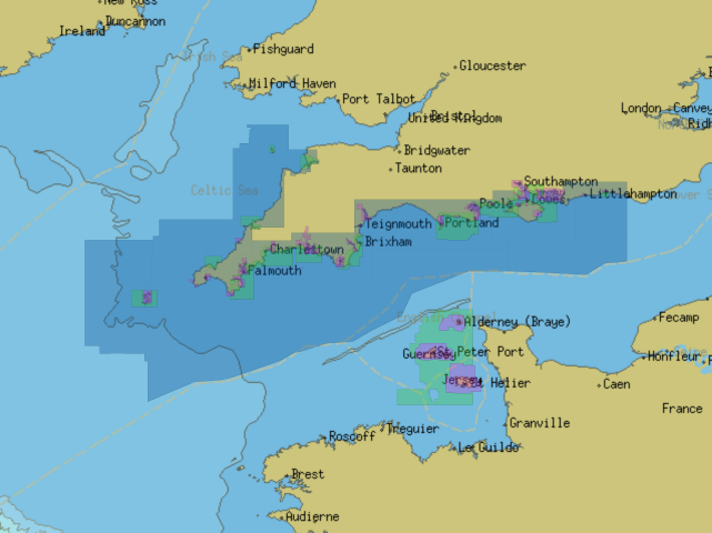
The office version is a freestanding system which later may be upgraded to a full Olex. Any vectorcharts must be purchased separately.
If needed Olex LT can be amended with additional modules to process and display sea floor hardness and multi beam data from Atec, Wassp and Seapix (the MBES module is not available for LT)
- Effortless vector chart handling
- Fast and smooth zooming and chart rotation
- Easy route planning and editing
- Depth and elevations in feet, metres or fathoms
- Functions for drawing, copying and rotating objects
- Multiple languages available
Download Brochure
Optional Modules available - See Tab for options.




Reviews
There are no reviews yet.